


Bohus Path Section 26
Krokstrand - Högstad
Section 26 of the Bohus Path takes you to the highest and northernmost peak in Bohuslän, Björnerödspiggen, 222 metres above sea level. The walk also passes some fascinating rock carvings and other historical remains.
Quick facts
Length: 17 km
Duration: about 4 - 5 hours
Level of difficulty: medium
Terrain: forest paths and small roads, hilly in parts
The roof of Bohuslän
Section 26 starts in the small village of Krokstrand and continues over the impressive Löveråsfjället. The path is really steep up to the roof of Bohuslän, Björnerödpiggen, at 222 metres above sea level. There is a watchtower at the top that gives you a stunning view; you can see deep into Norway on clear days. An impressive bronze age cairn marks the top. There is also a shelter and a barbecue area. This is Bohuslän's northernmost point. If you want to continue walking north, you can follow Kuststigen instead to the Svinesund bridge and then into Norway.
Walk in the footsteps of history
The Bohus Path then takes you down the hill to the southwest. The following section clearly shows that people have lived and worked in this area for thousands of years. Small roads and paths eventually take you to Högstad via the exciting historic remains in the Jörlov-Massleberg valley. At Massleberg there is a 5000-year-old passage grave from the Stone Age.
Fact about the trail
Length:
This section of the Bohus Path is 17 kilometres.
Approximate times:
It takes about 4 - 5 hours to walk this section, excluding breaks.
Marking:
There are orange markers along the footpath on trees and poles, which makes it easy to find your way in either direction on any of the sections. At the beginning of each section an information board shows distances on a map with various symbols, as well as conditions regarding the right to roam (Right of public access).
Level of difficulty:
The path is classified as medium, some parts difficult. The section is very varied with gravel roads, planks, farmland, forest landscapes and bogs. The first part of the section is very hilly as it rises steeply towards Björnerödpiggen at 222 metres.
Photographer: Jonas Ingman
Start and end:
The section starts just outside the village of Krokstrand. The Björneröd bus stop is about 50 metres from the start of the section (note that buses here must be ordered in advance). There is also a small car park right next to the start of the section. You can also start the walk in Krokstrand, where the path goes through (see section 25). Krokstrand can be reached using the bus from Strömstad station, taking about one hour.
How to get here:
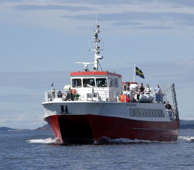
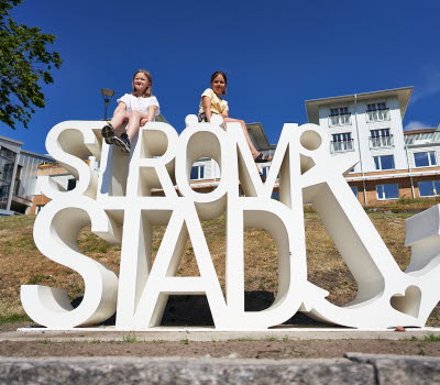
Section 26 is in Strömstad municipality, Norra Bohuslän. You can reach Krokstrand using public transport, which takes about 30-50 minutes from Strömstad. Strömstad is less than two hours by car from Gothenburg or Oslo. The train from Gothenburg takes about two and a half hours.
Map:
A digital map of the path is available on Google maps. You can also find more information and maps on the Bohus Path website.


