


Jälmåleden trail
Dalstorp/Nittorp, Tranemo
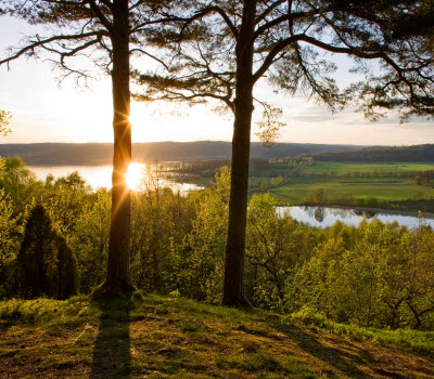
Jälmåleden, in Tranemo municipality, is a 35 km long hiking trail in a beautiful, natural environment. Along the trail, there are lots of interesting things to see, such as Viking graveyards and ruins from the industrial era of the 1800’s. There is also the possibility of combining your hike with canoeing on Jälmån.
Start and finish
Good starting points for your hike are the communities of Nittorp or Dalstorp, where there’s plenty of parking. Some other good starting points are by any of the bridges across the water.
Exploring
Some parts of the trail go through pastures with animals, wetlands and uneven hilly terrain, but overall it’s quite easy hiking. The hike goes along the water and even around the Dalstorp and Nittorp lakes. Along the trail there are several bathing areas and places of historic interest. You’ll pass by Viking and iron age graveyards as well as by several ruins from the industrial era of the 1800’s, among others.
Services
There are six windbreaks with fireplaces along the water. In Dalstorp, there’s a restaurant/pizzeria and a food shop.
Maps and facts
Maps: There’s a map by the tourist office in Sjuhärad. You can also find a digital map of the trail here.
Length: 35 km but you can easily do a shorter version of the trail.
Trail marking signs: dark blue colour.
Classification: medium difficulty.
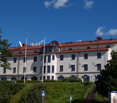
Transport: Buses go to Dalstorp and Nittorp from Ulricehamn and Tranemo. Closest bus stop to the trail in Nittorp is Industrivägen and in Dalstorp, it’s Torget.
The trail is supervised by: Dalstorpssjön and Nittorpssjön fishery conservation areas.
Turista i Nittorp
514 54 Nittorp
Phone: +46 703 77 32 59
E-mail: Send e-mail
Website: absolutnatur.se


