


VEDDÖLEDEN (VEDDÖ TRAIL)
Veddö, Fjällbacka
Walk for 3 km around the beautiful nature reserve Veddö, with the ocean by your side throughout most of the walk.
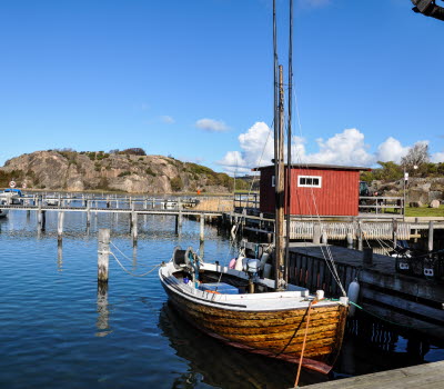
Start by the fence next to the pen and walk to the first gate on the right hand side. Walk through the gate and follow the path straight ahead. If you are lucky you get to see the friendly sheep along the way. The trail starts once you reach the boathouse on the left hand side. On rainy days the cliffs become very slippery so make sure you are careful! On your way up the hill you will see the silhouette of Fjällbacka on your left, and once you are on the top of the mountain you will see the entire Fjällbacka archipelago with the Weather Islands far west. From here you can also see Veddös south cape with two Bronze Age cairns, which you can visit if you want to make a small detour. These were used during the Bronze Age as temporary accommodation when the locals were out fishing or hunting.
From here, there is a relatively steep path down to the lowland of the nature reserve, where the trail turns northwest and follows the waterside along Musöfjorden. The trail goes through meadows with grazing animals that walk around freely during the summer to make sure the ground doesn't overgrow, in order to preserve the cultural landscape that is known to the Bohuslän archipelago. You can meet both cows and horses that are not dangerous as long as you don't bother them. After the gate, the trail crosses over two wooden bridges along the edge of the cliff and on the second bridge there is a bench that you can sit on to relax and enjoy the surroundings.
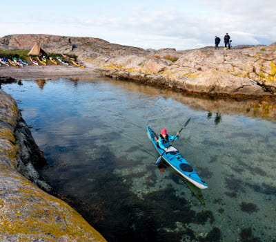
After the bridges, there is a small meadow just as you pass Veddöhals. This is a great place to go into the water as there are two lovely sandy beaches on each side of the cliffs. After Veddöhals you will follow the path uphill over some big rocks. Make sure you are careful, as some rocks are not situated well. On the top of the hill the view is magnificent and if you turn and look south you will see large parts of the inner archipelago and the Weather Islands. If you look north you will see some of the lights from Grebbestad and the wind power stations in the hinterland. The path wiggles its way down to Skutebacksbukten, which has a lovely and spacious beach. It also has outdoor toilets, which are open in the summertime. Above the beach, there are many plants and mushrooms growing, such as different waxcaps, Early purple orchids, Cat's-foot flowers, and moonwort.
Go through the steel gate and follow the dirt road to get back to the parking lot.
Directions and tips
The trail is ranked as medium in difficulty. It consists mostly of proper paths but in some places it has rocks and steep hills. On rainy days there is a great risk of slipping on the cliffs. Remember that it is a nature reserve and that certain rules must be obeyed. Always close the gates after you go through them, be respectful to the grazing animals and do not litter.
Drive on road 163. When you get 3 km north of Fjällbacka, turn towards Veddö and drive along Veddövägen until you reach the lower parking lot.

