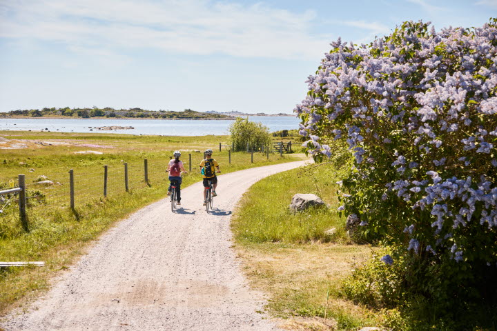


hiking on the Koster Islands
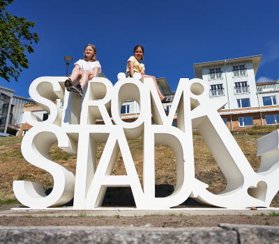
Strömstad
The almost car-free Koster Islands are Sweden’s most westerly populated islands and consist of the main islands of North and South Koster. Around them lie the Koster archipelago with a large number of skerries and rocky isles and the Kosterhavet marine national park.
North and South Koster islands are a walker’s dream. Enjoy the stunning scenery from the marked paths and trails, or from the various resting spots. Remember that a large part of the islands is a nature reserve and at the Koster boat landing piers there are information signs with maps of routes and trails. If you are bringing a dog, it must be on a leash.
On North Koster there are two marked circular routes that let you walk to the varying land and seascapes easily. Distances are comfortable so you don’t really have to plan ahead and there are plenty of interesting detours. There are four colour-coded walking trails between the piers, harbours and paths that go around and criss-cross South Koster.
There are orienteering maps at the piers and around the routes. You can also down load a hiking map with marked trails here.
Photographer: Roger Borgelid
Walking on North Koster
There are two marked circular routes that take you easily around the island; the white route is 4 km and the orange route is 3.5 km in length. The routes cross on the north of the island and from Norrvikarna both of the routes lead back to the starting point.
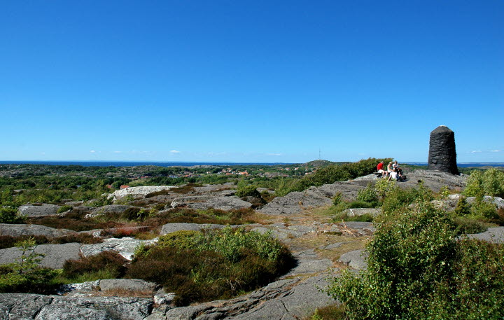
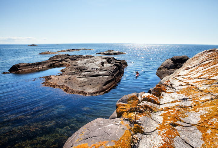
Look out for: the shingle fields at Valnäsbukten (bay) are a stunning remnant of the ice age and the sea that formed the ramparts as the Kosters rose from the sea. Keep your eyes close the ground at the Valnäs marshes to spot the unique little Bohusranunkel plant. Visit Kosters highest vantage point at Högen where there are two former lighthouses at almost 60 metres above sea level for fabulous views. Go for a dip, weather allowing, at Basteviken, Norrvikarna and Hasselvikarna. On both sides of the Koster sound there are restaurants that are open summertime.
Photographer: Roger Borgelid
Walking on South Koster
Långegärde – Ekenäs, 3.5 km
Trail – Blue
This is a popular route that includes stretches of shoreline, winds through a forest and past open meadows and arable land. The last stretch from the main route connects with another path and you follow the blue/yellow marked trail back to Ekenäs.
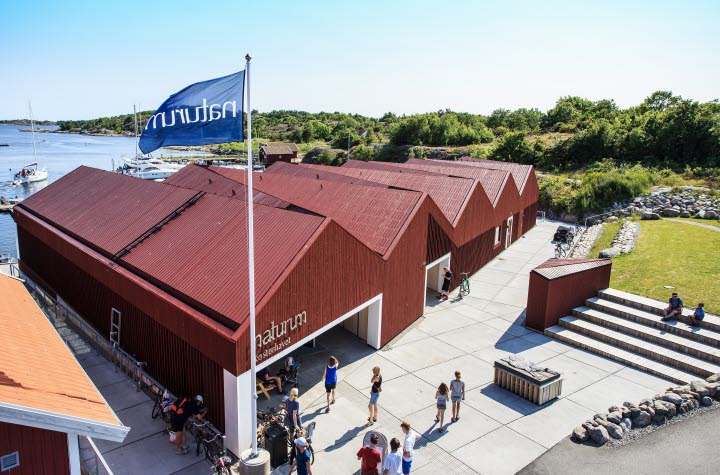
Look out for: Rare Bohuslinden (lime tree) at Ekenäs that is signposted from the tennis court. Naturum Kosterhavet exhibition, fish smokehouse (Rökeriet) and Kosters’ only hotel, at Ekenäs.
Detours: At Rörvik, north of Ekenäs, there is a bathing spot and a snorkel trail. If your feet want to take you further, pay a visit to Kilesand.
Långegärde – Ekenäs via Brevik, 7 km
Långegärde – Brevik, 4 km/Brevik-Ekenäs, 3 km
Trail – Yellow
An area of natural beauty in varying landscapes of pastures and ancient deciduous forest. There are bathing spots at Bergdalen and Brevik.
Look out for: See the old fishing harbour at Brevik with meadows beside the shore, as well as a bathing spot and picnic tables. Kosters sculpture park is also here.
Kilesand – Långevik, 5 km
Trail – Green
The trail covers the entire South Koster island on paths, gravel paths and there are many discoveries to be made both on and off-trail. At the final destination, Långevik, the sea meets meadow with the whole of the Koster archipelago in full view to the west. From Kilesand the trail goes via Bergdalen to Torget before continuing along the road to the final stretch towards Långevik
Detour: Valfjäll with jaw-dropping views across the Koster Islands. Visit the Koster gardens and sculpture park. There is a restaurant and ice-cream kiosk at Kilesand.
Ekenäs – Brevik via Kilesand, 7 km
Ekenäs – Kilesand, 3 km/Kilesand – Brevik, 4 km
Trail - Red
At Hattevik, before you reach Nästången, take a right and join the trail further on. If you follow the path you will come to marshland with a rich variety of birdlife. The trail terrain around Nästången can get difficult.
Look out for: Pretty sea holly and the Koster thistle at Kilesand beach. The last leg to Brevik harbour goes over a plant-rich shoreline and meadows and you enter the national park; one of two areas of South Koster island that is part of the national park.
Photographer: Göran Assner
Other useful information
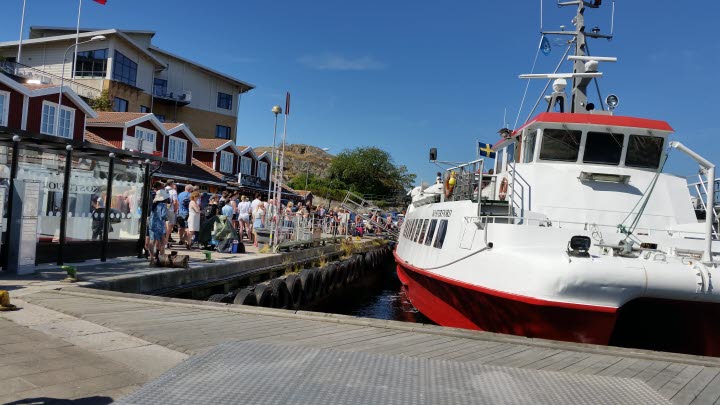
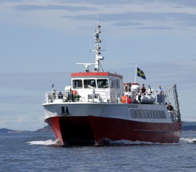
Getting to the Koster Islands: The Koster ferries (Koster Marin) depart from Norra Hamnen in the town of Strömstad year-round. You can purchase a ticket on board, or at the ticket machine in the harbour in Strömstad. Timetable: www.kostermarin.se
Koster cable ferry
Between North and South Koster (Långegärde – Västra Bryggan) there is a small cable ferry that is manned summertime. At other times of the year you can take the Koster boat. The journey costs SEK 15 SEK.
Guided tours
There are guided kayaking and seal-spotting tours in the summer months from the Koster islands. There are also guided tours of the island’s beaches, as well as cultural walks and guided bike tours.
Kosters Trädgårdar: hiking, biking and kayaking
Koster Adventures: Biking and kayaking
Selin Charter: Seal safari