Hökensås Hiking Trail 5,5 km
Tidaholm
Experience the beautiful landscape of Hökensås with its pine forests and rolling, gentle hills. Hiking trail of 5.5 kilometers in the stunning scenery.
Quick facts
Length: The trail is 5.5 kilometers long and forms a loop.
Approximate time: It takes approximately 1 hour to complete the trail.
Trail marking: The trail is marked with blue markers, which are placed on posts and trees.
Difficulty level: Moderate difficulty level, consisting of forest roads, forest paths with occasional roots and stones.
Start and finish: The trail begins and ends at First Camp Hökensås, where parking is available.
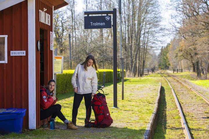
Directions: Hökensås is located in West Sweden, near Lake Vättern, approximately 160 km from Gothenburg. If you choose to travel by train, you can go to Falköping or Skövde and then take a bus from there to Tidaholm. From Tidaholm to Hökensås, you can take bus 321, and the trip must be pre-booked by calling 0771-91 90 90 at least one hour before departure.
If you're traveling by car, Hökensås is located 14 km from Tidaholm and 48 km from Jönköping.
Fantastic hike on the esker among the pine forests.
Experience the beautiful landscape of Hökensås with its pine forests and rolling, gentle hills. The trail starts and ends at First Camp Hökensås. Several trails depart from here, including one for mountain biking (MTB). The hiking trail and the MTB trail share some sections of the same route.
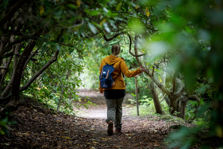
The trail goes through a forest consisting of pine trees, spruces, and shorter sections of mixed woodland.
Rich wildlife, blueberries, and lingonberries along the trail.
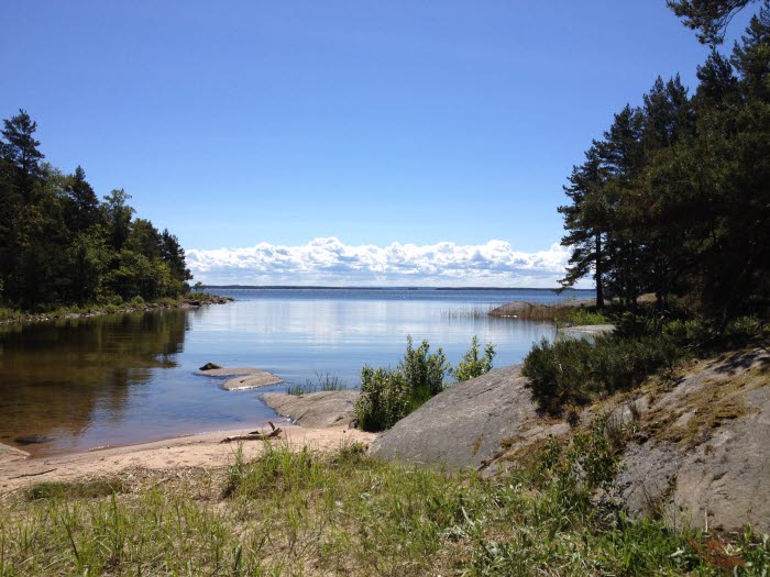
The trail is classified as moderate and varies between wider paths and forest roads. During the hike, you can take a detour to Ibbesjön (Ibbe Lake) and stop by a babbling brook that the trail passes, simply to enjoy the tranquility.
There is abundant wildlife in the area. If you enjoy picking berries, you'll find both blueberries and lingonberries along much of the trail during the right season. Feel free to pause and marvel at nature's formations when you're standing atop the ridge and can gaze into depressions that resemble the impacts of the Ice Age in the region.
Lodging and food
The trail starts from First Camp Hökensås. At the campsite, you'll find Hökensås Sportfiske with a sports fishing shop. There's also a small convenience store in the reception area, and Restaurant Hökensås. Opening hours may vary depending on the season, so please check before planning any purchases. In the campsite's reception, you can find maps of hiking trails and a customer restroom.
Sightseeing destinations
During the summer, it can be pleasant to cool off with a swim in Lilla Havssjön. This is a popular bathing lake located in the Hökensåsskogarna area, approximately 3 km north of First Camp Hökensås.
The legendary Falk's grave stirs many emotions. It is said that there are always fresh flowers on the grave. Is that true? Visit the site to find out. The grave is located approximately 10 km southeast of First Camp.
Whether you enjoy taking photographs or just savoring unbeatable nature, Rävafallet is well worth a visit. The waterfall is located approximately 10 km southeast of First Camp. There is parking available at Sågaretorpet, and from there, you can take a short walk to the enchanting waterfall. If you have packed a picnic, there is also a barbecue area.
Hiking in Hökensås
Experience what it’s like to go hiking in lovely Hökensås here.
{{Name}}
{{shortDescription}}...
{{Description}}
For more tips on scenic hikes in Skaraborg that are suitable for day trips, you can find information on vandraiskaraborg.se.
Quick facts
Length: The trail is 5.5 kilometers long and forms a loop.
Approximate time: It takes approximately 1 hour to complete the trail.
Trail marking: The trail is marked with blue markers, which are placed on posts and trees.
Difficulty level: Moderate difficulty level, consisting of forest roads, forest paths with occasional roots and stones.
Start and finish: The trail begins and ends at First Camp Hökensås, where parking is available.
Directions: Hökensås is located in West Sweden, near Lake Vättern, approximately 160 km from Gothenburg. If you choose to travel by train, you can go to Falköping or Skövde and then take a bus from there to Tidaholm. From Tidaholm to Hökensås, you can take bus 321, and the trip must be pre-booked by calling 0771-91 90 90 at least one hour before departure.
If you're traveling by car, Hökensås is located 14 km from Tidaholm and 48 km from Jönköping.


