({{search.Data.length}} results)
{{settings.Localization.Data.SearchResult.EmptySearchResultSuggestion}}
Part of

Photographer: Amplifyphoto/ Markus Holm

Svens Altare, Storehamn
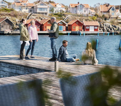
Orust

6 km, moderate

The hiking trail is a nature and culture path that takes you to Svens Altare, 106 meters above sea level. Here, you have a breathtaking view of large parts of Orust and the entire coastal area up to Smögen. Once upon a time, it is said that 11 churches could be seen from this spot.

The hiking trail is a nature and culture path in the Storehamn area. The word 'hamn' translates to an outlying, barren, and mountainous region in this context. Storehamn was once covered only with heather and small bushes; it's in the last hundred years that coniferous and deciduous trees have been planted. The forest is now diverse, with a significant presence of hardwood trees. Birdlife is abundant, and the floral beauty at Hålta Vatten is unique in the country. The highest point on the hiking trail, 106 meters above sea level, is called Svens Altare. There you will find a weather vane with Gunnar Sanne's ex-libris: a goose feather, a shovel, and an 'S.'

Photographer: Södra Bohuslän Turism, Anders Jonsson

 Life stories and ruins

At eleven locations, you will find signs that tell the stories of people and their living conditions. In the area, there are traces of substantial homesteads, a genuine manor, but also of almost unimaginable hardship. After the abrupt end of the herring period in 1809, people couldn't sustain themselves in the archipelago. They settled in all conceivable places, quarried stone, drained marshes, and cultivated whatever they could. Numerous families, often with many children, were forced to live in miserable stone huts and cottages. This was an extremely barren region, covered only with heather and small bushes.

Be respectful of the environment; all ruins and traces of cultivation are protected under the Cultural Heritage Act. There are limitations to the Right of Public Access, and no plants should be picked. Regulations applicable to nature reserves are explained on the sign at the parking lot.

Photographer: Södra Bohuslän Turism, Anders Jonsson


Fact about the trail

Length:

6km

Approximate times:

Several heights need to be crossed, so three or four hours are suitable for the circular walk.

Marking:

The trail is marked with yellow arrows and yellow ribbons around the trees, and there are signs along the trail that tell the history of the place.

Level of difficulty:

Moderate, but several heights need to be crossed.

Start and end:

There is a signposted parking lot just west of Morlanda Brygga. At the parking lot, there is a large map showing the marked trail. Almost the entire trail is within the forest area of Morlanda Säteri, which is a nature reserve.

How to get here:

There is a signposted parking lot just west of Morlanda Brygga. The gravel road is private and not allowed for general car traffic.

Coordinates parking lot

WGS 84 (lat, lon): N 58° 11.890', E 11° 32.051'

WGS 84 decimal (lat, lon): 58.19817, 11.53419

Contact information

Orust Turistinformation


Phone: +46 304 79 93 40


E-mail: turistinfo@orust.se

Website: sodrabohuslan.com