- Source: GETTING HERE
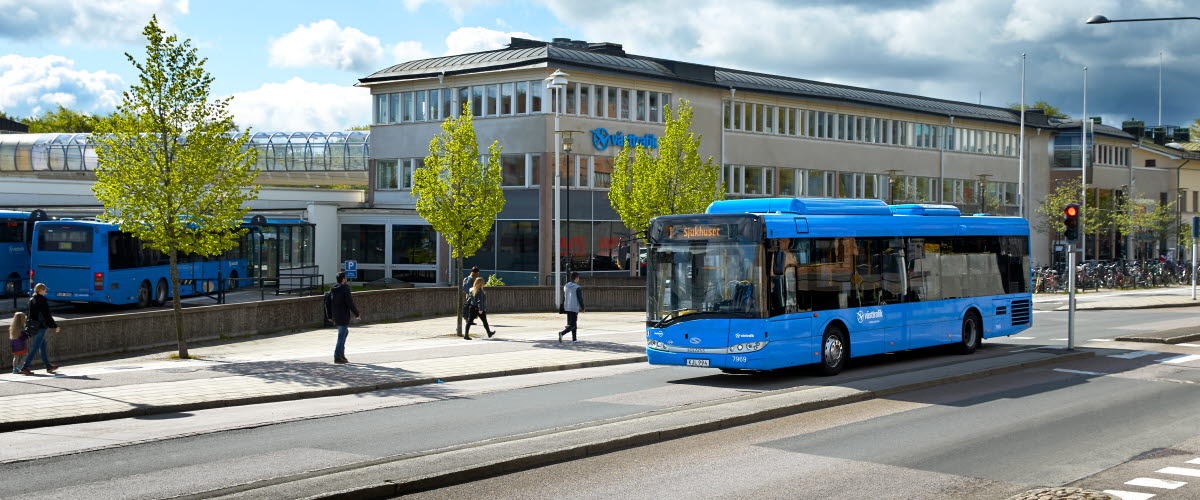
Set between Sweden’s two largest lakes, Skaraborg is easy to get to. Skövde is only 1 hour from Gothenburg by train and just over 2 hours from Stockholm. From Skövde buses easily take you on to other local towns.
Skaraborg has everything you could ask for in terms of varied walks. Combine the day trips and discover all kinds of walking routes all varying in character. Within an hour’s drive, you’ll find everything from the peaceful islands of lake Vänern and the coastal landscape to wide open mountain plateaus and a winding esker. They are so close to each other but yet so different.
Choose where you want your journey to begin. The walks on Kinnekulle, Billingen and in Falköping can be reached by public transport, while for the others you will need a car or other means of transport.
If using public transport, the easiest way to plan your journey is using västtrafik.se, sj.se or mtrexpress.se
Brommö
The Brommöleden trail is in the Mariestad archipelago in the heart of West Sweden. The island of Brommö is 30 minutes north of Mariestad. Buses run from Mariestad to the ferry on the island of Torsö (Laxhall stop) with a journey time of about 50 minutes. It takes about 2.5 hours by car from Gothenburg to the ferry on Torsö (Laxhall).
Hökensås
Hökensås is in West Sweden near lake Vättern about 160 km from Gothenburg. If you choose to come by train, get off at Falköping or Skövde and then take the bus to Tidaholm. Check the bus connections between Tidaholm and Hökensås as they can be few and far between at times. If you are driving, Hökensås is 14 km from Tidaholm and 48 km from Jönköping.
Kinnekulle
The Kinnekulle Path is in inland West Sweden on the south-eastern shore of lake Vänern in the municipality of Götene, about 150 kilometres from Gothenburg. Västtrafik’s “Kinnekulletåg” is a train that runs from Lidköping to Hällekis station or Trolmen station. If arriving by car, the easiest place to park is at Hällekis station in the middle of Hällekis.
Kållandsö
In the heart of West Sweden in the municipality of Lidköping, the Tranebergsleden path explores the island of Kållandsö. The path starts at Läckö Golf Club. It is not served by public transport but there is plenty of parking right next to the path.
Billingen
The mountain plateau of Billingen is in Skövde, between Stockholm and Gothenburg. It is easily reached by train, followed by a booked coach (book no later than 2 hours before departure via Västtrafik) which will take you all the way up to the top. As Skövde is at the foot of Billingen you can also take town bus no. 4 towards Trädgårdsstaden, get off at the Gamla Kungsvägen or Dalvägen stops and then walk up yourself. Of course, you can also drive to the top, in which case, there is good parking by Billingebadet where the path starts.
Granvik
Granvik is slightly north of Karlsborg. From road 49 in Granvik, turn off towards Tived and then follow the signs to Granviks hamn. After you have gone under road 49, you will see the visitor centre with its large car park on the left. It is easiest to get here by car.
Falköping
Falköping lies between lakes Vänern and Vättern about 120 km from Gothenburg. Falköping has a train and bus station with good connections to Gothenburg and Skövde. Depending on the direction you are walking the Pilgrim’s Path, bus 203 will take you to or from Gudhem with stops including the bus and train station. The bus stop in Gudhem is called Kabelstationen, and from there it is just a few hundred metres to the ruined Gudhem Abbey.


