

Baljåsen nature reserve
Edsleskog
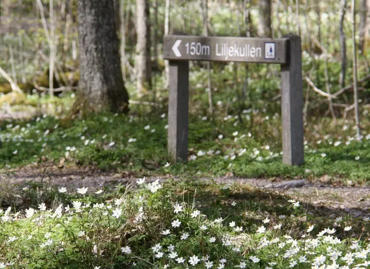
Baljåsen and Orsberget in Edsleskog offer beautiful and partly hilly hiking. Most trails start from Petersborg, the small farm run by Edsleskog's home village association, where parking is available. Three of the trails take you to Dalsland's highest point, 302 meters above sea level.
Hiking trails to the top
Three hiking trails lead to the highest point in Dalsland - Baljåsen, 302 meters above sea level. The hiking trails have varying degrees of difficulty and length. At Baljåsen's highest point there is a simple cabin with a TC and 3 bunks where you can sleep or take a rest.
Baljåsen the orange trail
Start from the parking lot at Petersborg, and Björndalsberget to Baljåsen cabin. Nice views.
Difficulty: Tough
Length: 1.7 km
Baljåsen through the white trail
Walk from Petersborg to Klöverudsåsen and turn to the orange trail, which goes to Baljåsen. The trail goes through a valley formation.
Difficulty: Moderate
Length: 1.8 km
Toppstugan
If you want to choose a simple trail to the top cabin on Baljåsen, walk pass Petersborg via the 600 m road and then turn left at the sign Baljåsen.
Difficulty: Moderate
Length: 2.5 km
Other trails in the area
In the area there are more several fine trails starting from Petersburg.
The blue trail
From Petersborg to the viewpoint of "Åmåls granen".
Difficulty: Moderate
Length: 2.8 km
The orange trail
From Petersborg to the viewpoint of Åmålsberget.
Difficulty: Tough
Length: 2.1 km
The white trail
Start from Petersborg. At the trail you pass the croft ruin of Södra Björndalen. Nice views of Edslan.
Difficulty: Easy
Length 2.5 km
The yellow trail
From Petersborg to Ängebytjärnet, a lake popular for sport fishing. Windbreaks, TC.
Difficulty: Easy
Length: 2.6 km
Coordinates - Parking
WGS84 decimal (lat, lon)
59.105896, 12.445729
Please take the regulations of the reserve into account
Photographer: Gaby Karlsson Hain, Dalslands Turist AB
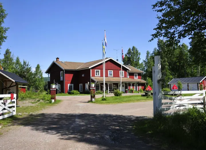
Edsleskogs Wärdshus - stay the night
If you want to stay overnight, Edsleskogs Wärdshus is not far from the trail. Beautifully located by lake Edslan.
edsleskogswardshus.se
More trails in Edsleskog
- Kednäs - Small beautiful nature reserve with a nice trail
- Storspåret - 22 km to Åmål
- The Pilgrim trail - 100 km to Vänersborg passing Mellerud
Västkuststiftelsen
66291 Åmål
Phone: +46 10 224 4000
E-mail: Send e-mail
Website: vastkuststiftelsen.se