Hiking in Strömstad
Strömstad
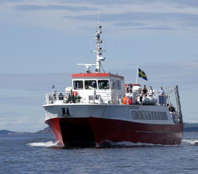
The Koster Islands
Nordkoster; The island of North Koster offers great hiking opportunities through extremely diverse landscapes. There are two marked trails on the island.
Sydkoster; Four colour coded walking trails between the piers and the harbours lead both around and across the island. In total, there are around 20 kilometres of marked walking paths.
Down load hiking map
Nötholmen
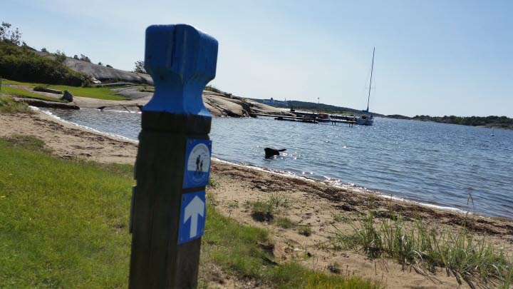
Walk around Nötholmen. Start and finish by Kebal. Take a break at the resting place. A walk through unspoilt nature, along the sea shore and with views of the ocean and the islands.
Down load information and hiking map
Rossö Kockholmen
Nature reserve situated about 15 km south of Strömstad. Coastal walk.
Bring swimming gear. Read more>>
Saltö
Nature reserve situated about 15 km south of Strömstad, offering coastal walks.
Down load information brochure with a hiking map.
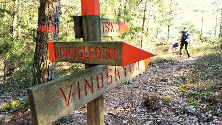
Bohusleden
This walking trail starts at the border with the county of Halland and finishes in Strömstad. A 370 kilometre long trail through Bohuslän. The walk is divided into different stages.
For information and map visit www.bohusleden.se
The Coastal path
Stenungsund to Moss. The Coastal Path in Strömstad follows the trail Bohusleden in the south, then continues via Krokstrand up to Svinesund and into Norway. Read more>>


