
Västra Rossö & Kockholmen
Strömstad
Around 11 kilometres south of Strömstad, Västra Rossö and Kockholmen offer a beautiful combination of sheltered beaches, pine forest, open granite and views across Kosterhavet.
Here, Västra Rossö Nature Reserve meets Kosterhavet National Park. From the visitor car park, you can walk north along the beaches of Västra Rossö or follow the marked trails south across the rugged Kockholmen peninsula.
Come for a swim and a picnic, or spend several hours exploring the area’s unusual geology, windswept forest and rocky coastline.
Walk across Kockholmen
Kockholmen - known as Kackholmen on some maps - is a hilly peninsula with marked trails through pine forest and across exposed granite.
It is just over two kilometres from the car park to the southern tip. Several routes allow you to choose between open coastal views and more sheltered woodland, although all include uneven ground and changes in elevation.
The blue trail around Getestigberget
The blue trail leads across the more exposed western side of Getestigberget and offers wide views across Kosterhavet.
Along the way, you will pass a large opening in the rock formed by meltwater during the Ice Age and several giant’s kettles—smooth, bowl-shaped hollows carved into the granite by stones swirling in glacial water.
Parts of this route cross difficult and uneven terrain.
The orange trail through the forest
The orange trail passes through oak, beech and pine forest before reaching the meadow at Yttre Edet.
From here, you can continue towards Sejebågen or explore the southern part of the peninsula, where a dark band of rhomb porphyry cuts through the surrounding pale reddish Bohus granite.
The western section of the orange trail is the easiest route, but it still includes slopes, rocks and uneven ground.
A landscape shaped by ice and sea
Kockholmen is particularly fascinating for anyone interested in geology.
Along the coast, you can discover extensive shingle fields, glacial potholes and ancient rock formations. At the southern end of the peninsula, the dark porphyry forms a striking contrast with the lighter granite around it.
You may also come across traces of the people who once lived here. On the eastern side are the remains of Kackholmstorpet, a smallholding where generations of fishing families lived during the nineteenth century. The foundations of an old boathouse can still be seen near Getestigberget.
Beaches and swimming
Close to the car park, Kågeköl and Saltpannan offer a popular sandy beach with sheltered water. It is a good choice for families or anyone who prefers an easy swim close to the visitor facilities.
There are also places to swim from the rocks around Kockholmen. Take care when entering the water, as the rocks may be slippery and sharp Pacific oyster shells can be found on the seabed.
Coastal plants and wildlife
The varied coastline supports a rich mixture of plants, birds and insects.
Rare species such as yellow horned poppy and oysterplant grow along the shore. Rock pipits are often seen on the exposed rocks, while butterflies and dragonflies thrive among the flowering grasslands during summer.
Sheep graze freely on Kockholmen and help keep the coastal meadows open. Please give them space, do not feed them and keep dogs on a lead throughout the year.
Accessibility and terrain
Kockholmen is very hilly, and the trails cross exposed rocks, forest paths and uneven ground. Some sections are steep or difficult to navigate.
The trails are not accessible for wheelchairs or pushchairs. Wear sturdy footwear with a good grip and take extra care when the rocks are wet.
Visitors looking for a gentler outing can enjoy the sandy beach and coastal surroundings close to the car park without walking all the way across Kockholmen.
Download the Kockholmen walking map.
Getting here
Västra Rossö is located on the south-western side of the island of Rossö.
By car
Leave the E6 at the Sälten junction and follow the signs towards Rossö. After crossing the bridge onto the island, continue for just over two kilometres and turn left at the sign for Västra Rossö.
Continue for another two kilometres to reach the visitor car park for the nature reserve and national park.
Find Västra Rossö and Kockholmen on Google Maps.
By public transport
Public transport services to Rossö are limited and may vary throughout the year. Use the Västtrafik journey planner and check how far your chosen stop is from the reserve before travelling.
By boat
Visitors arriving by private boat can use the guest harbour at Rossö harbour. Please check the local anchoring and nature protection regulations before entering shallow bays or approaching beaches.
Different protected areas, different rules
Västra Rossö Nature Reserve and Kosterhavet National Park meet in this area. Because the rules differ slightly between them, always check the map and information signs to see which protected area you are in.
Important rules include:
-
Keep dogs on a lead throughout the year.
-
Do not dig up or damage plants.
-
Do not remove, move or stack stones.
-
Fires are only permitted at designated barbecue areas.
-
Cycling is only permitted on existing roads.
-
Drones are not permitted.
-
Camping and overnight stays are not permitted within Västra Rossö Nature Reserve or in the car park.
-
Within Kosterhavet National Park, camping may be permitted for up to two nights in the same place. Check the map and current regulations before pitching a tent.
-
Seasonal restrictions apply to boats, anchoring and landing on sandy beaches from 15 May to 31 August.
-
Always respect grazing animals, wildlife and other visitors.
For complete and current regulations, visit the official Västra Rossö and Kockholmen page.
Make a day of it
Before or after your walk, visit Entré Rossö at Rossö harbour.
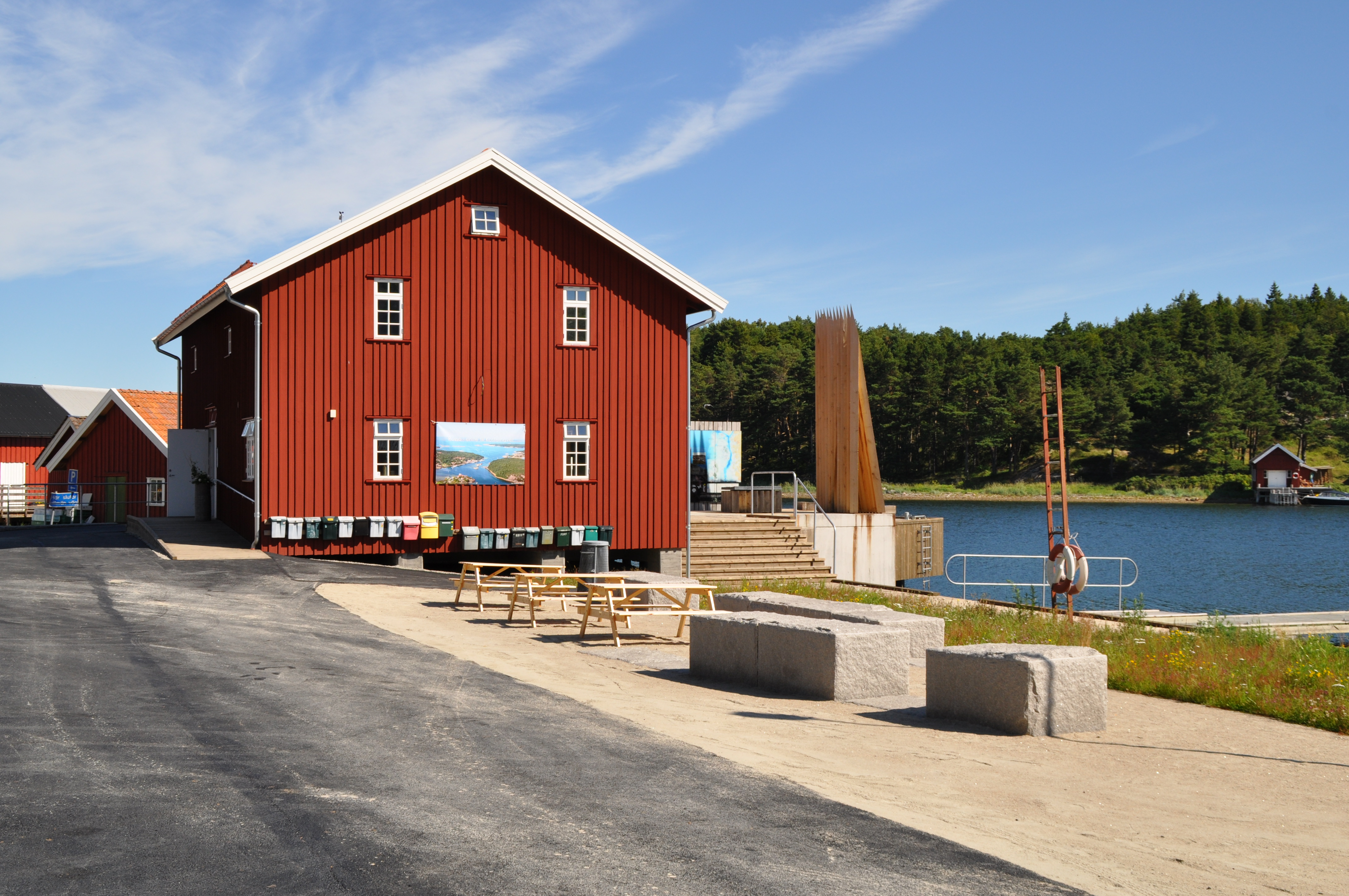
Inside the old harbour warehouse, an exhibition introduces the marine life of Kosterhavet National Park and tells the story of Rossö’s close relationship with the sea. There is also a café and restaurant, with opening hours that vary throughout the year.
Kosterhavets nationalpark
Website: To homepage