


Overview maps
Here you will find a list of all the nautical charts you might need when you travel to, from or on the Dalsland canal. Further down you can download some overview maps.
Nautical chart - Dalsland canal & Trollhätte canal
2020 a new combined nautical chart for the Trollhätte Canal and the Dalsland canal was published (Båtsportkort Trollhätte kanal - Dalslands kanal 2020). It includes maps, information about guest harbours, fairways, service, sights and canal history. Only available in Swedish. The chart is printed on water resistant paper.
Price: SEK 560 exclusive postage.
Order your Nautical chart here
During the summer, when the canal is open you can also buy the nautical chart for the Trollhätte Canal and the Dalsland canal at; Köpmannebro, Lennartsfors, Töcksfors and Upperud.
Nautical charts - to and from the Dalsland canal
| Göteborgs hamn | 9312 och 9313 |
| Vänersborg-Köpmannebro | 135, Chart Lake Vänern |
| Lake Vänern incl Säffle canal | 131-134, 1331 |
| The Halden canal | Chart & map - Haldenvassdraget |
| Halden-Göteborg | Chart - Västkusten norra och Västkusten södra |
| Malmö/Köpenhamn-Göteborg | 921-925, 931 |
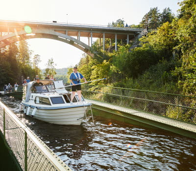
Photographer: Christiane Dietz
Canoe Country
Canoe Country is a combined canoe map and handbook for canoeing in the Dalsland canal lake system. The book is a must for anyone planning to canoe or kayak in the area.
Order your "Canoe Coutry" here
Overview maps
Here is the Dalsland's canal:
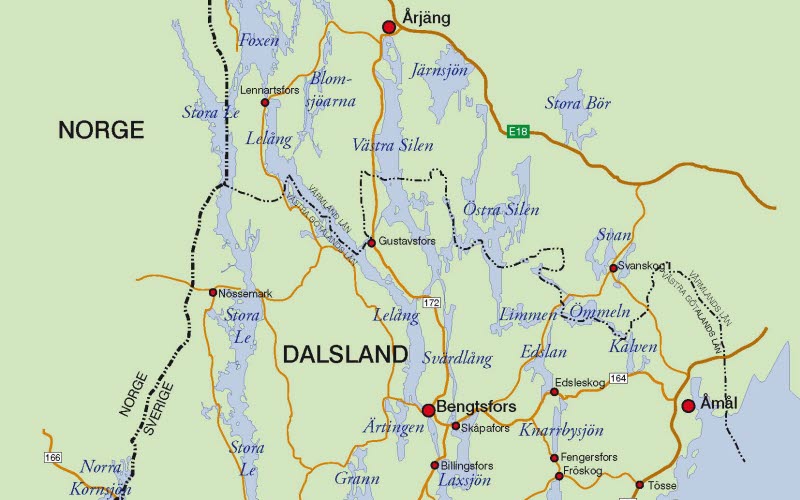
Map of the Dalsland canal:
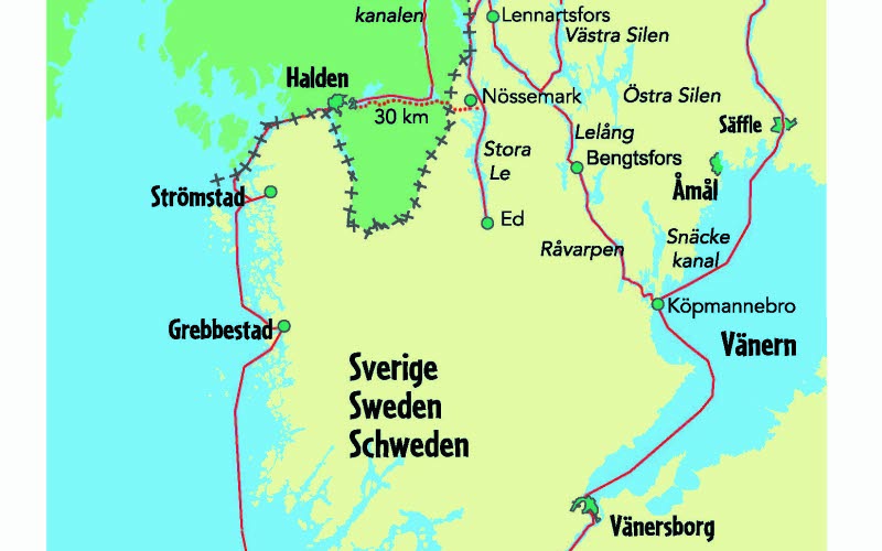
Roundtrip Dalsland canal / West coast:
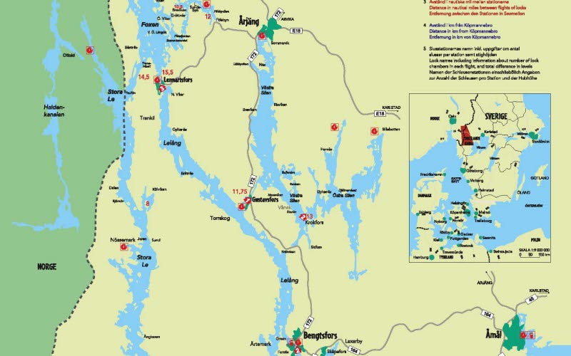
Overview of the Dalsland Nordmarken (DANO) area: