Around the lake Såken
Hillared, Svenljunga
Såken Runt is a scenic, rather hilly route around Lake Såken in Svenljunga local authority area. The circular trail measures a total of 18 km and takes in varied terrain. It passes several nice vantage points and old villages with a rich heritage.
Hike around Lake Såken
The trail Såken Runt features some beautiful vantage points and bathing sites. At Sågviken bathing site you can take a detour to see the glacial potholes. They are large and cylindrical pothole drilled in solid rock, which were created during the ice age. On the eastern side of the lake there are two sign-posted hiking trails. Option 1 goes takes you the shoreline and passes Hinnared bathing site. Option 2 is easier to negotiate along a car route a short distance from the lake. The second option is recommended at extremely high water levels. The two stretches meet again after approx. 1.5 km.
Service
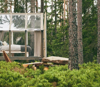
The Hagö nature reserve features a wind shelter should you wish to spend the night beneath the stars. Other accommodation includes lodges along the trail as well as at Lockryd holiday village in Sexdrega (approx. 4 km away). At Lockryd there is also the restaurant Köksträdgården
Fact about the trail
Length:
18 km
Marking:
Arrows and "you are here maps".
Level of difficulty:
Medium difficulty with more difficult elements.
Start and end:
The trail is sign-posted which means that you can walk it in reverse and start your hike at any point along the trail. It is, however, most convenient to park in or just north of the village of Hillared, perhaps at Sågviken harbour.
How to get here:
There is a bus to Hillared from Svenljunga and Borås. The nearest stop is Solvägen, 900 metres from the trail.
Map:
Here you will find a digital map of the trail on Google maps.


