Holsljunga tour
Svenljunga/Holsljunga
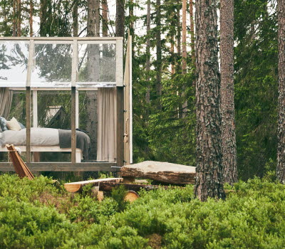
The tour offers varied cycling experiences on smaller country roads and gravel roads. Head off from the square in Svenljunga and travel a short distance on a larger road, Route 154. Follow Ätran south from Svenljunga until you reach Östra Frölunda. After crossing Ätran you travel north, mostly on gravel roads through forest landscapes until you reach Holsljunga where the ride becomes more hilly. Travel past churches and lakes as well as forests and agricultural landscapes until you reach Ätran and follow the final stretch back to Svenljunga. There is accommodation available along Holsljungaturen.
STAGE 1 Svenljunga-Örsås, approx. 7 km (30 min)
Start from the square in Svenljunga, follow Kindsvägen south, continue until you reach the junction at Stapelvägen. Turn left onto Route 154. Take first right onto Kyrkogatan and continue until you reach Route 154. Follow Route 154 south a short distance and then turn left at the sign Örsås 1. At Örsås junction, turn left at the sign Ambjörnarp 13, Örsåsgården 2. The cycle path Västgötaleden also passes through here. Follow the road until you reach Örsås church.
STAGE 2 Örsås-Östra Frölunda, approx. 15 km (45 min)
Stop for a break or cycle past Örsås white stone church, a little further to the left lies the living history museums and Örsåssjön which is a true Swedish gem. Örsås is home to plenty of ancient heritage sites as well as the Rörstorp cultural trail. A short distance past Örsås there is sign marked Assmebro. Cycle across the Assman and follow the sign marked Drägved 14. Follow the road for 200m and turn right at the sign marked Östra Frölunda 13. Travel through an open agricultural landscape with a rich bird life, where you can see cranes in the spring. Game fishing is available at Faxsjön. Before you reach Ö. Frölunda you will pass Lerbäcksbyn, an old manor offering overnight accommodation.
STAGE 3 Östra Frölunda-Holsljunga camping, approx. 12.5 km (50 min)
Cross Ätran once you enter Ö. Frolunda. Pass through Ö. Frölunda and turn right towards Överlida at the junction. Follow the road a little to the north and turn left towards Överlida 10. The route will take you past fields and farmhouses. Turn right at a yellow sign marked Hiå 6 and cycle along the gravel road bordered by forest. Follow this road for about 6 kilometres. At the junction, continue straight ahead and follow the gravel road for another 3 km to Holsljunga. Follow the road straight through the village until you reach the junction with Route 154. Cycle straight ahead and cross Route 154. Continue straight ahead and follow the sign for Torestorp and Öxabäck. At a road junction you will find Holsljunga church on the right and a lovely beach with shallow swimming waters and a campsite with a seasonal café. Stop off for coffee or a dip.
STAGE 4 Holsljunga bathing site - Revesjö bathing site, approx. 8 km (30 min)
Turn right towards Revesjö 8 at the junction by the church. The route continues along fields and meadows and you will see Lake Karken up ahead just as the road turns sharply to the left. Follow the road left up the hill. The road now turns into a gravel road, follow it straight ahead. This stage consists of hilly road with inclines. Follow the gravel road for about 5 km straight ahead until you see Lake Kyrkesjön on your left and reach the junction at Revesjö church. If you would like to take a dip in the lake, turn right towards Karkashult and continue to Stora Kvarnsjön bathing site.
STAGE 5 Revesjö church - Svenljunga square, approx. 8 km (30 min)
From the junction att Revesjö church, follow signs marked Svenljunga 8. Then follow the signs for Svenljunga. Parts of the route consist of gravel roads. Keep left when the road forks at the sign Axelfors 2. You will eventually see Ätran on your right which you will follow all the way back to Svenljunga.
Fact about the trail
Length:
50 km
Approximate times:
3-3,5 hours
Marking:
No signs
Level of difficulty:
The majority of the route is paved and relatively easy to negotiate. Stage 4 is hilly.
Start and end:
The square in Svenljunga.
How to get here:
You can easily get to the centre of Svenljunga via Route 156 or 154. You can also travel here by a bus service operated by Västtrafik.


